
Dredging Support
Objective data utilized to effectively and efficiently plan, execute & deliver with our nationwide network of professionals.
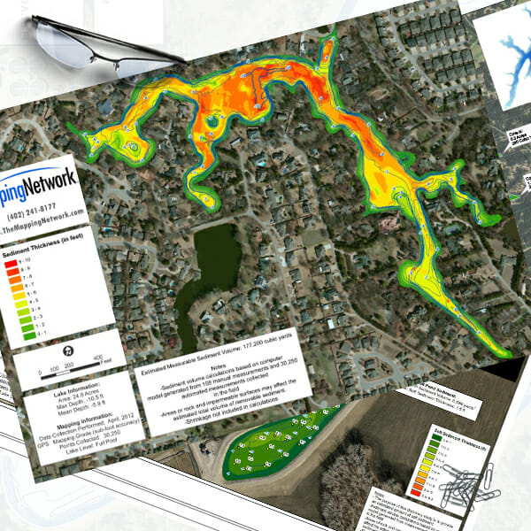
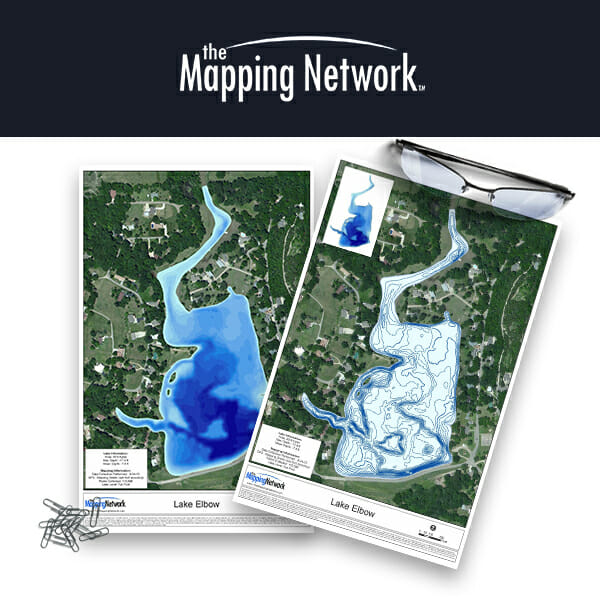
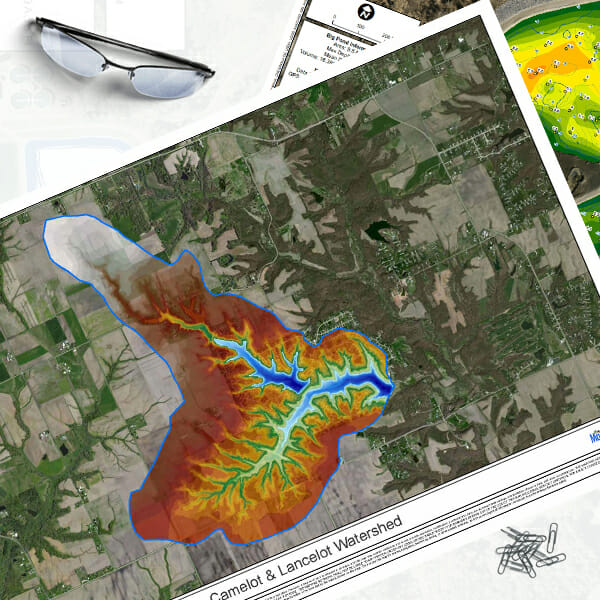
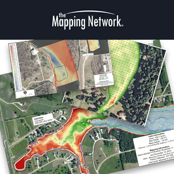
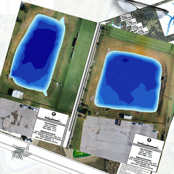
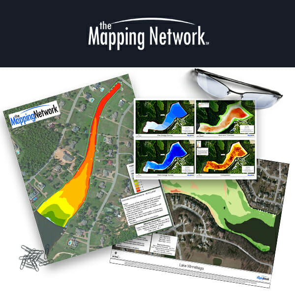
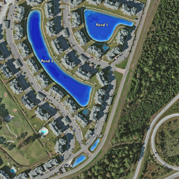
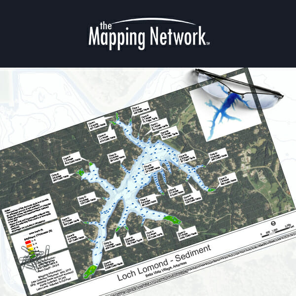
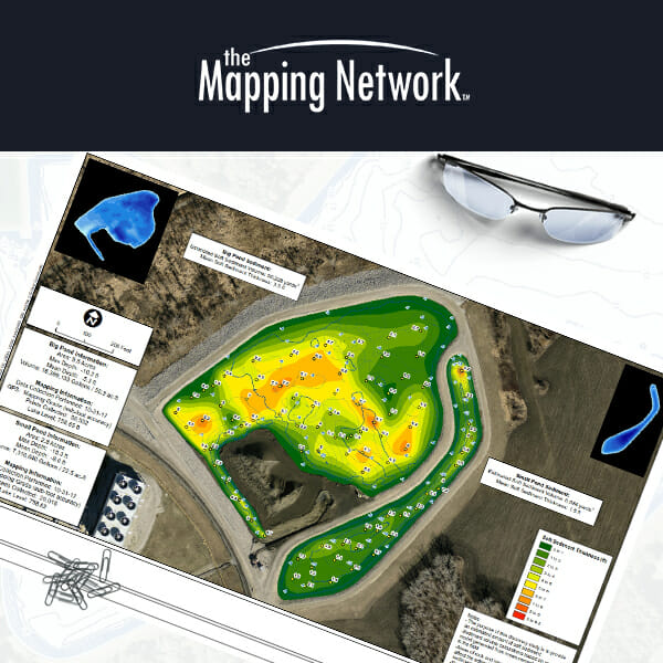
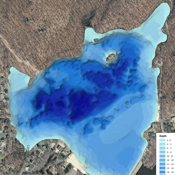
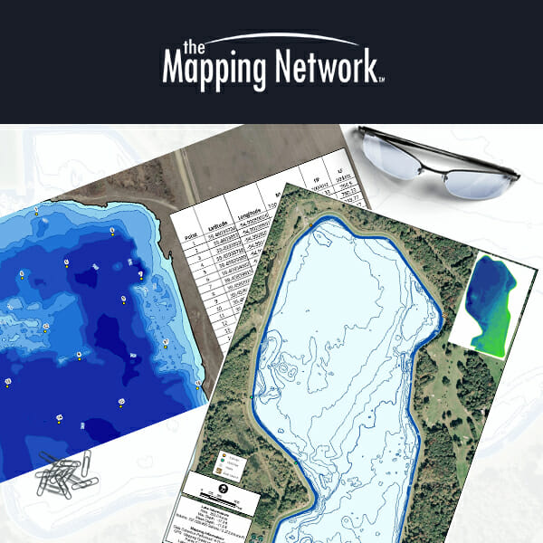
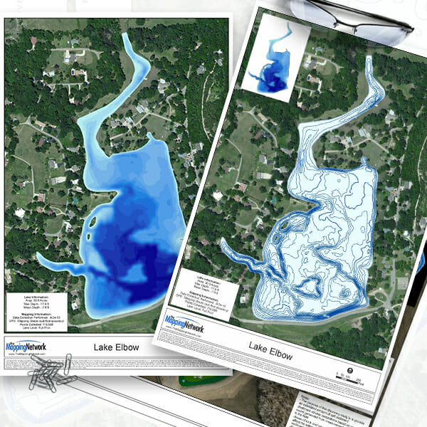
A dredging worksite is underwater, so a good plan starts with good data. Our mapping supports each phase of a lake or pond dredging project: consultation and data collection to define the scope, in-situ sediment volumes and depth maps for feasibility and permitting, DredgePack navigation files and progress maps during dredging, and pre/post dredge mapping that proves the work was completed.
CONSULTATION
Determine objectives, goal and discuss potential options.
DATA COLLECTION
Obtain crucial information to quantify scope of the project.
FEASIBILITY STUDY
Assess practicality of proposed plan or method.
PERMITTING
Obtain official approval to perform work issued by the local or federal authorities.
DREDGING
Coordinate and initiate plans to achieve measured goals.
MAINTENANCE
Preserve goals by creating an obtainable maintenance strategy.
Accurate. Professional. Complete. Trusted for over 20 years.